Open
Model Lab
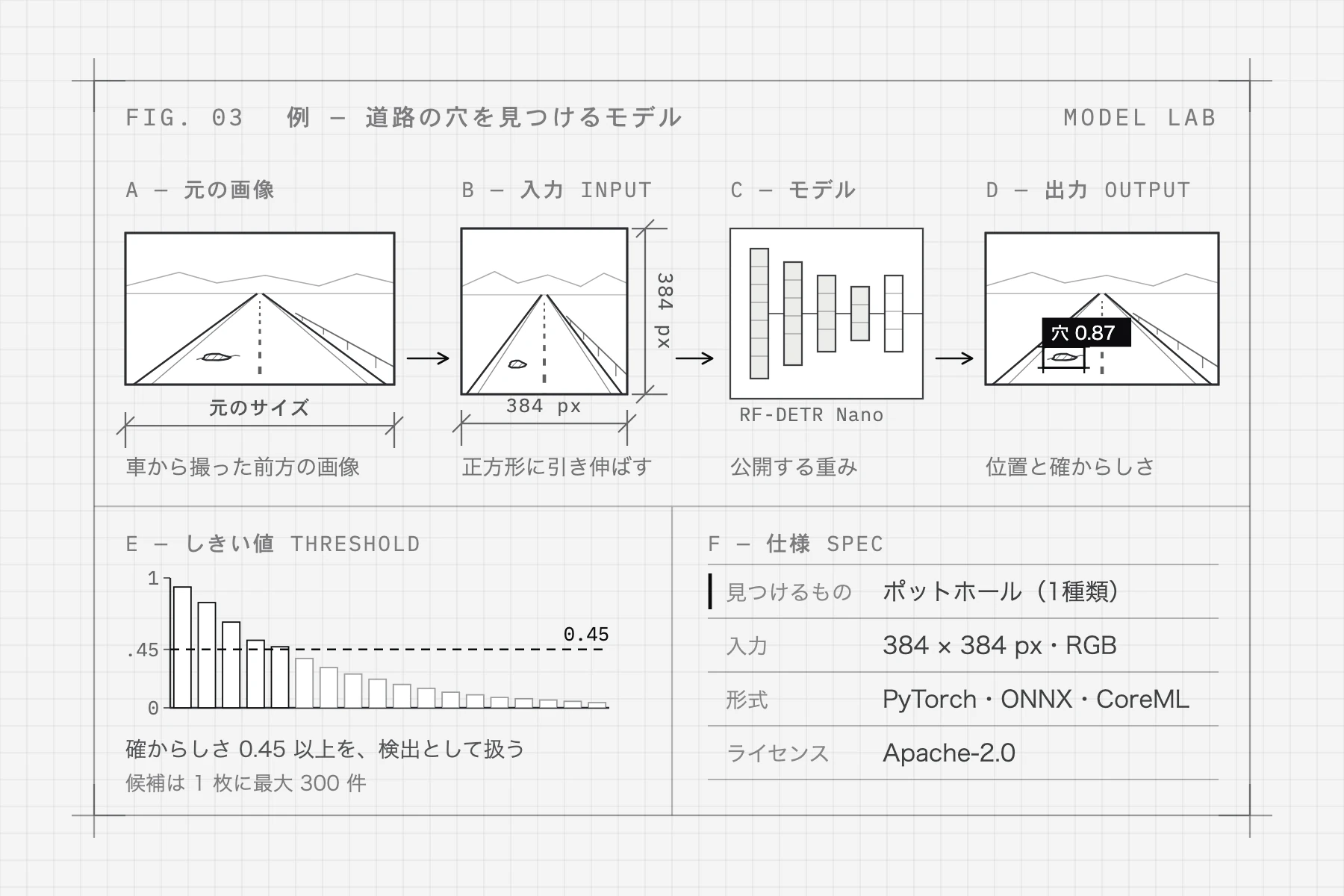
AI models that assist road inspection, published under licenses that allow commercial use.
Learn moreInfra Intelligence builds tools that help the people who look after infrastructure, so what we already have can stay in use for a long time.
Much of Japan's infrastructure is reaching old age at the same time. There are only so many people to look after it, and it can neither all be rebuilt nor all be checked by eye. What we have needs to be maintained and kept in use.
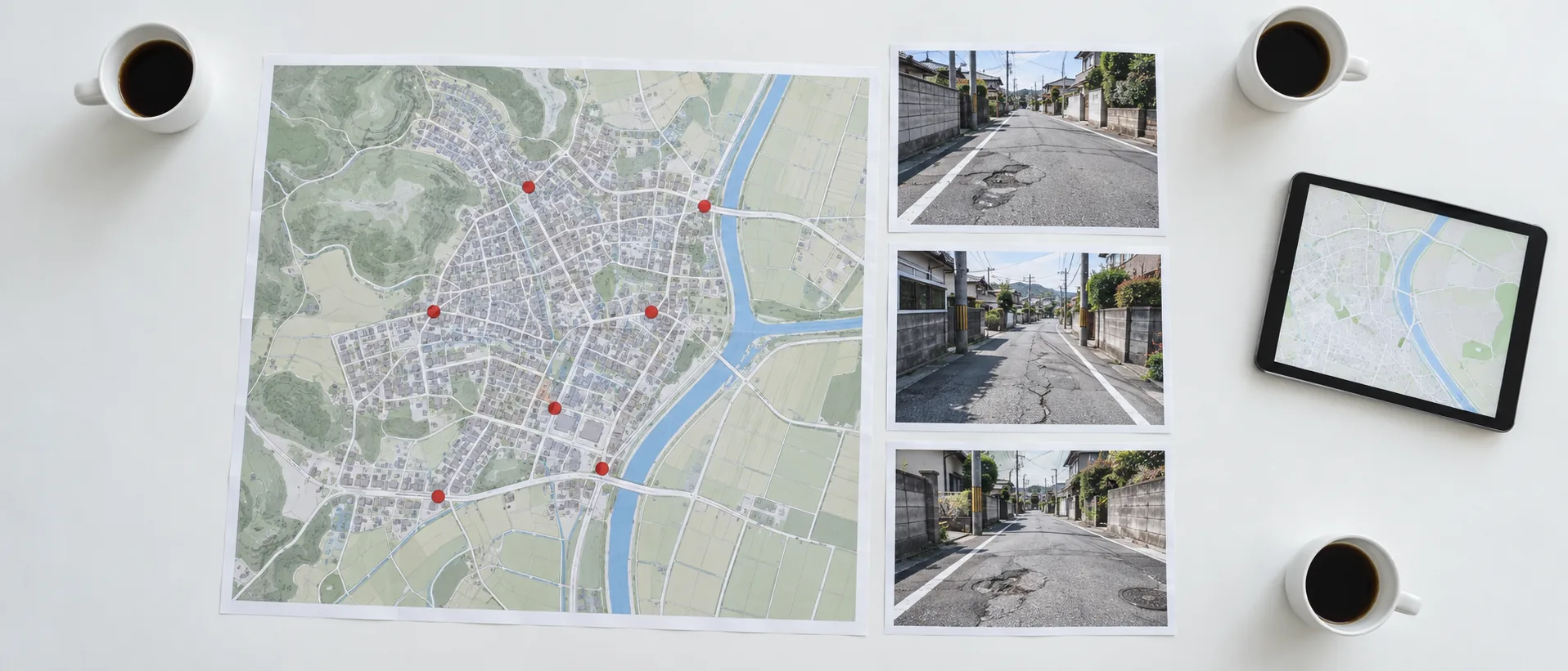
No single organization can perfect damage detection on its own. Field images, detection models and inspection records: when each is shared, a system built in one region can help inspections in another. Infra Intelligence publishes tools and models for exactly that, so the people who keep infrastructure running can fill in for one another.
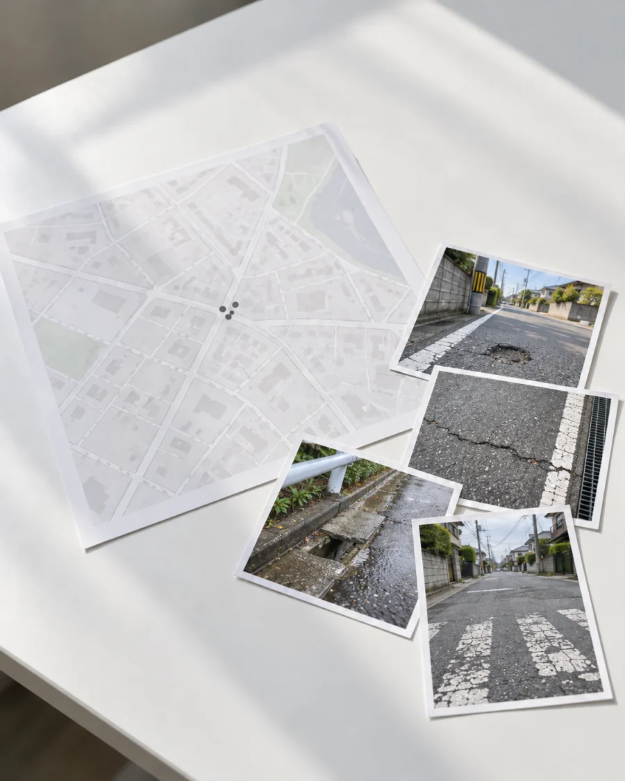
People who use infrastructure every day notice small changes first. One record on the spot captures the photo, location and time, ready for the people in charge.
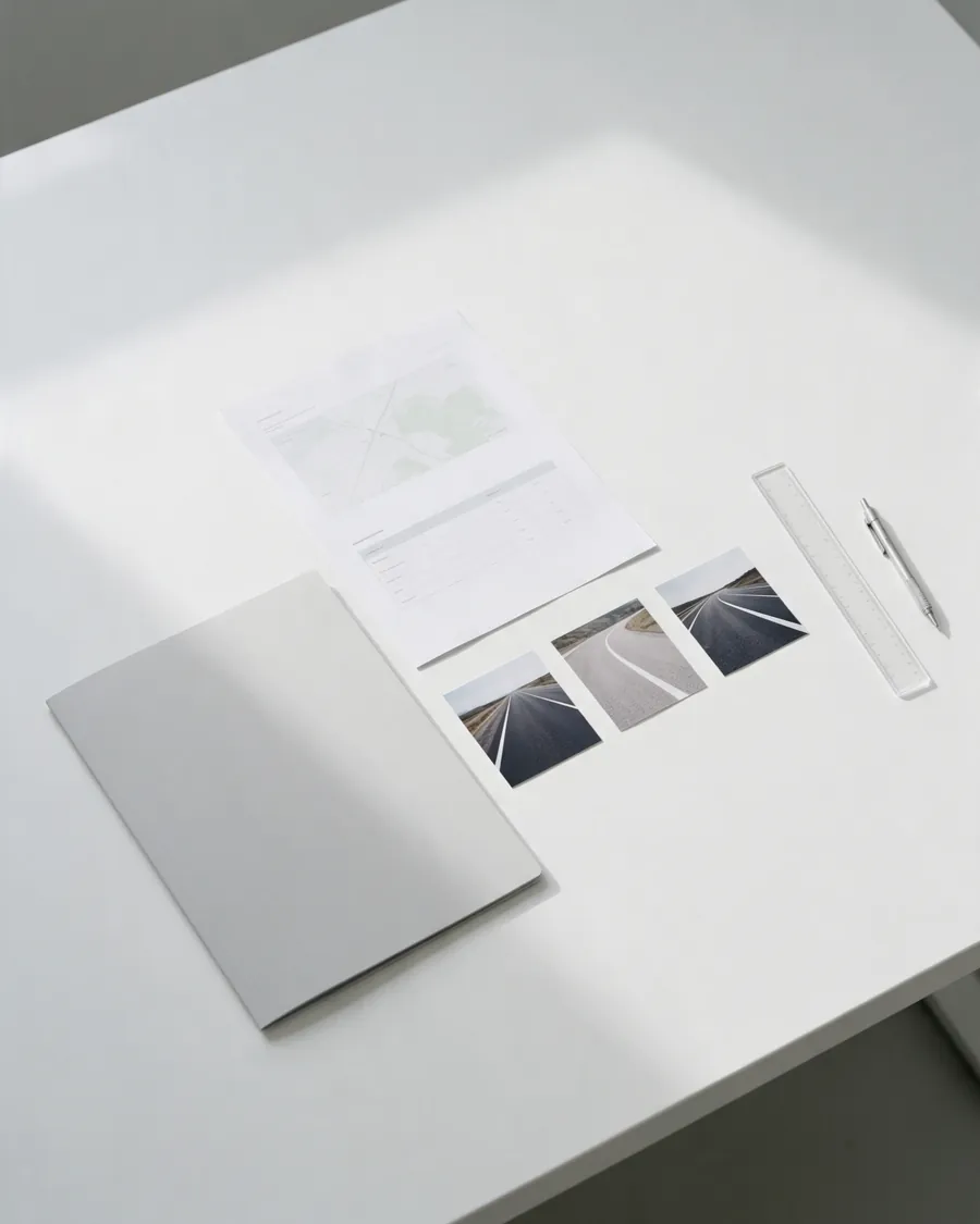
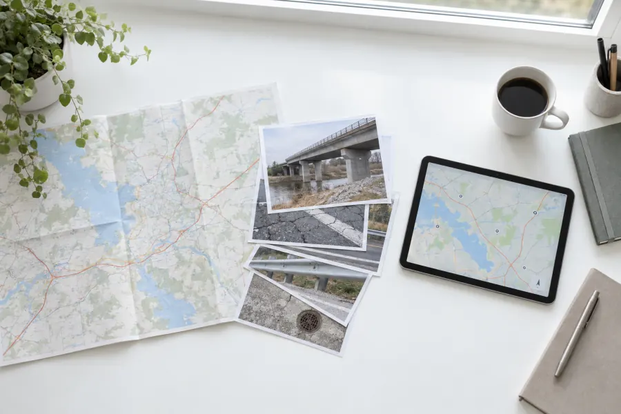
Records are gathered on a map in a form that makes inspection and repair decisions easier. Above all, it has to be easy for field staff to keep using.
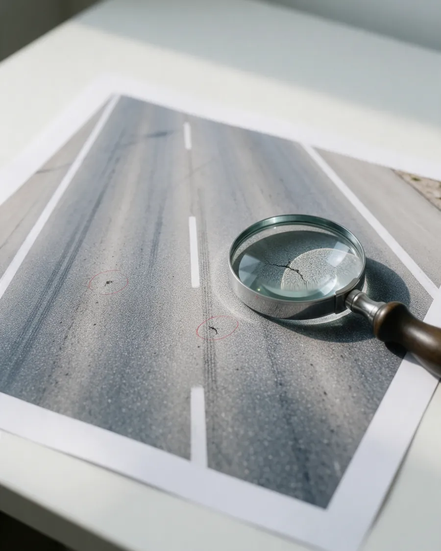
Image recognition covers ground that people alone cannot. People make the decisions; technology gathers what they need to decide.
Open
AI models that assist road inspection, published under licenses that allow commercial use.
Learn more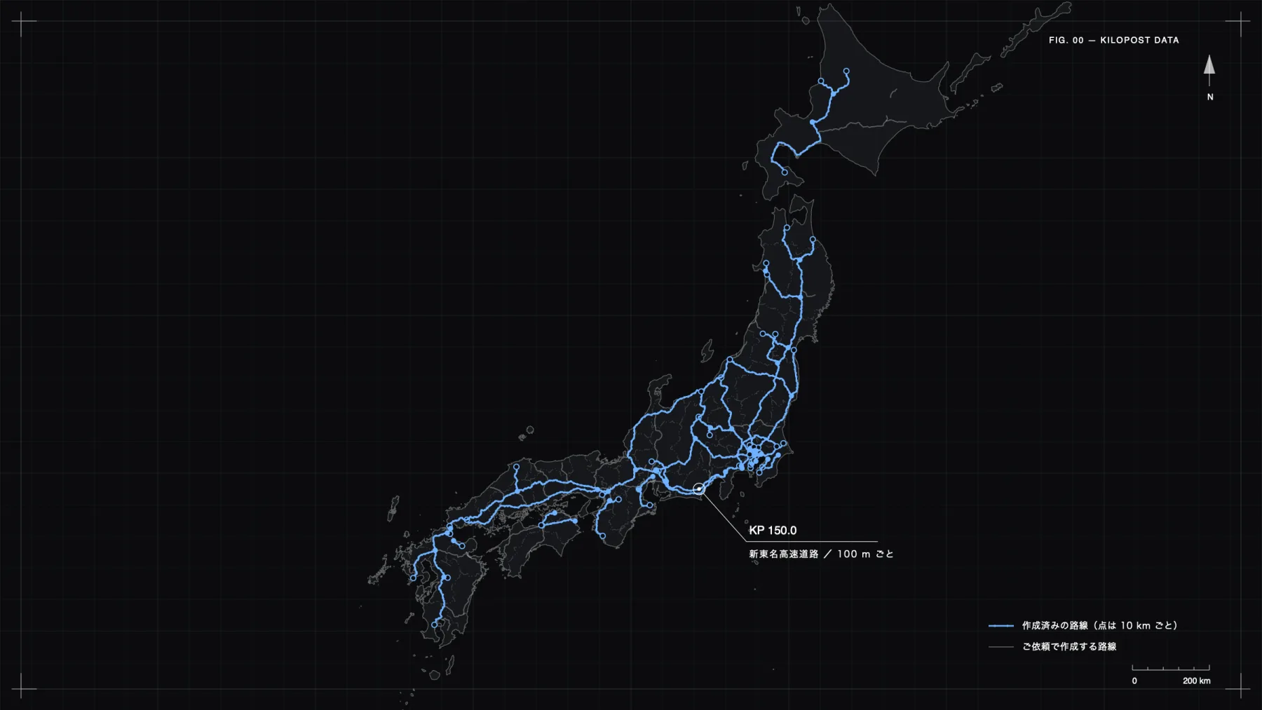
For sale
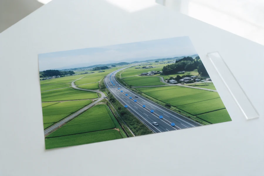
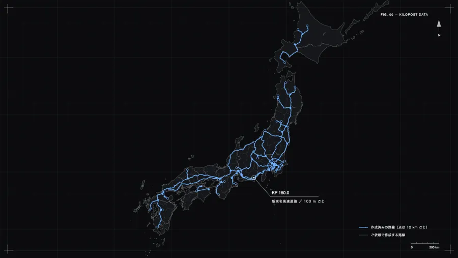
The latitude and longitude of every kilometer post on Japan's expressways, as a list. The sample is free; other routes are made to order for a fee.
Learn more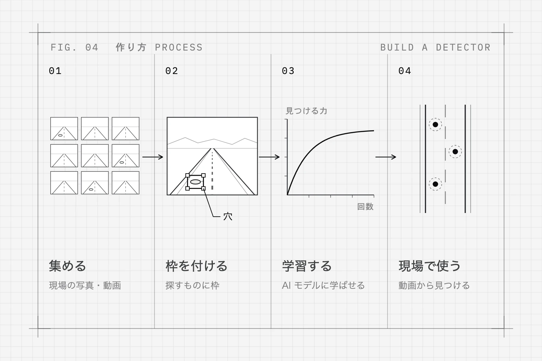
Describe the problem and the data you have. The first consultation is free, and meetings are usually online.
A limited set of data shows whether the approach fits your goal. You decide whether to continue after seeing the results.
Scope and terms are set from the trial results, and development proceeds under a service contract. On-site visits are possible when needed.
Maintenance and model retraining can continue as new issues appear in use.
MICHIKARTE
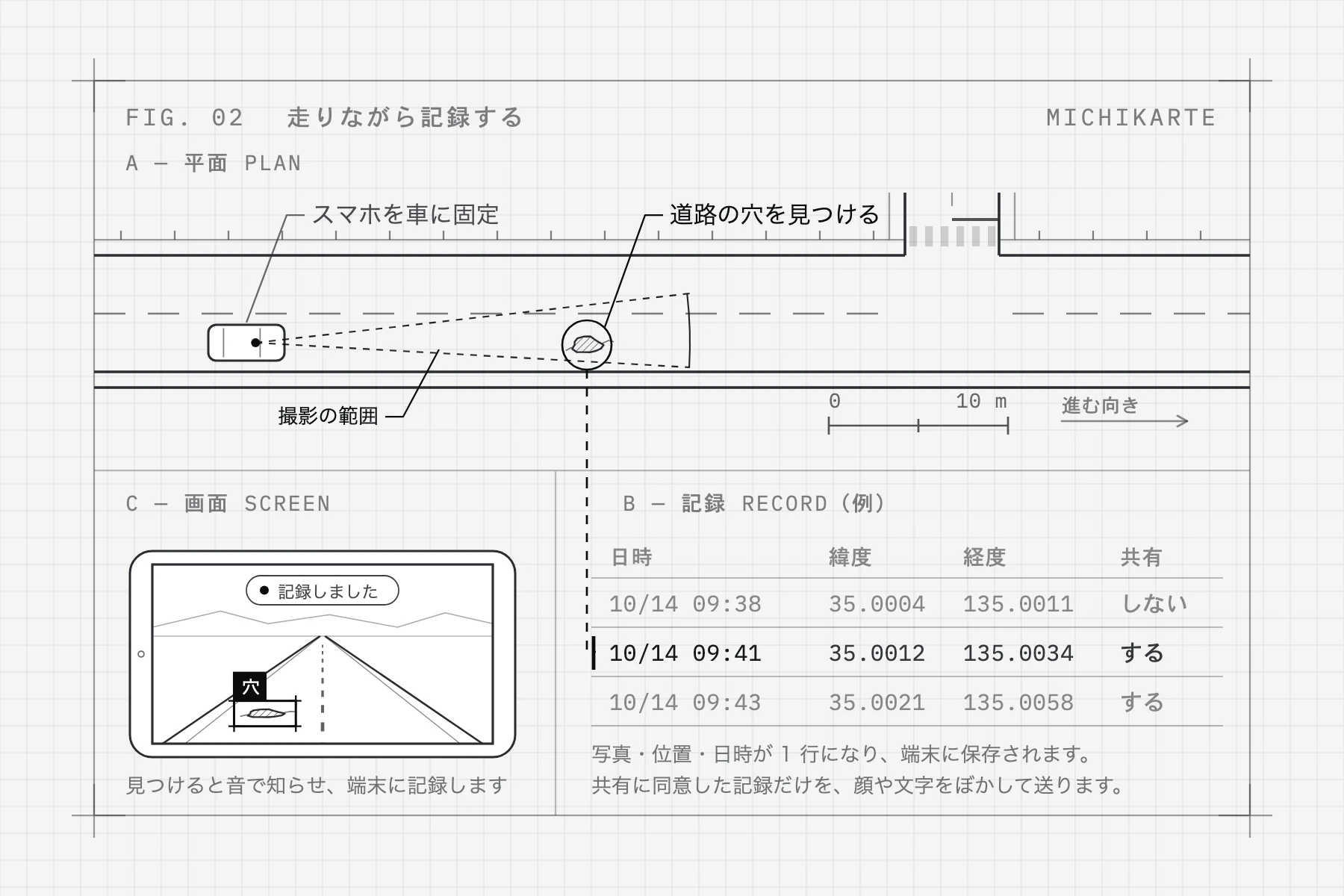
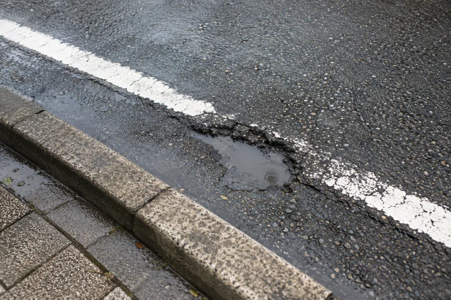
Record road damage on your phone and send it to the local government or whoever manages the road. Damage often goes unrepaired simply because the people in charge have not found it yet, and reports from road users shorten that wait. A shared map of potholes and a photo reporting page are live at michikarte.com.
 About MICHIKARTE
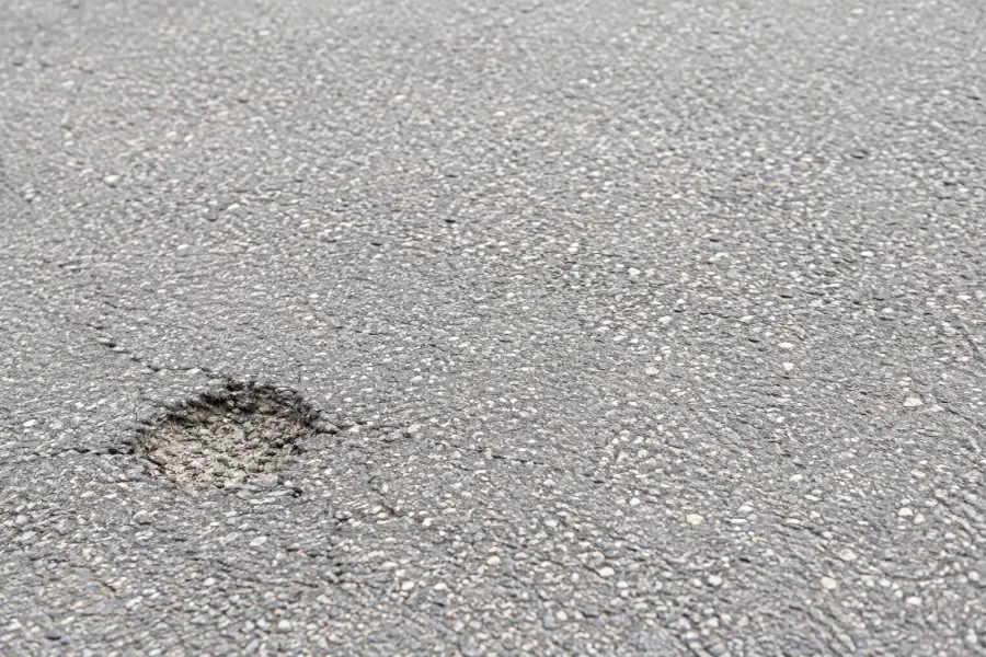
Take a photo of the damage and send it. Or mount your phone in the car, and the app finds and records potholes as you drive. The location is filled in automatically.
Records gather on one map for the road manager to review. Damage that patrols cannot reach comes to light through residents' reports.
Once a repair is done, its mark on the map will change, so the person who reported it can see the result. Your reports make your own roads better.
 1 photo
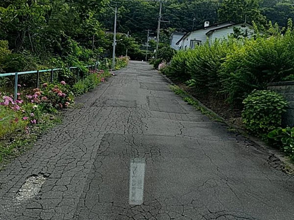 Technology
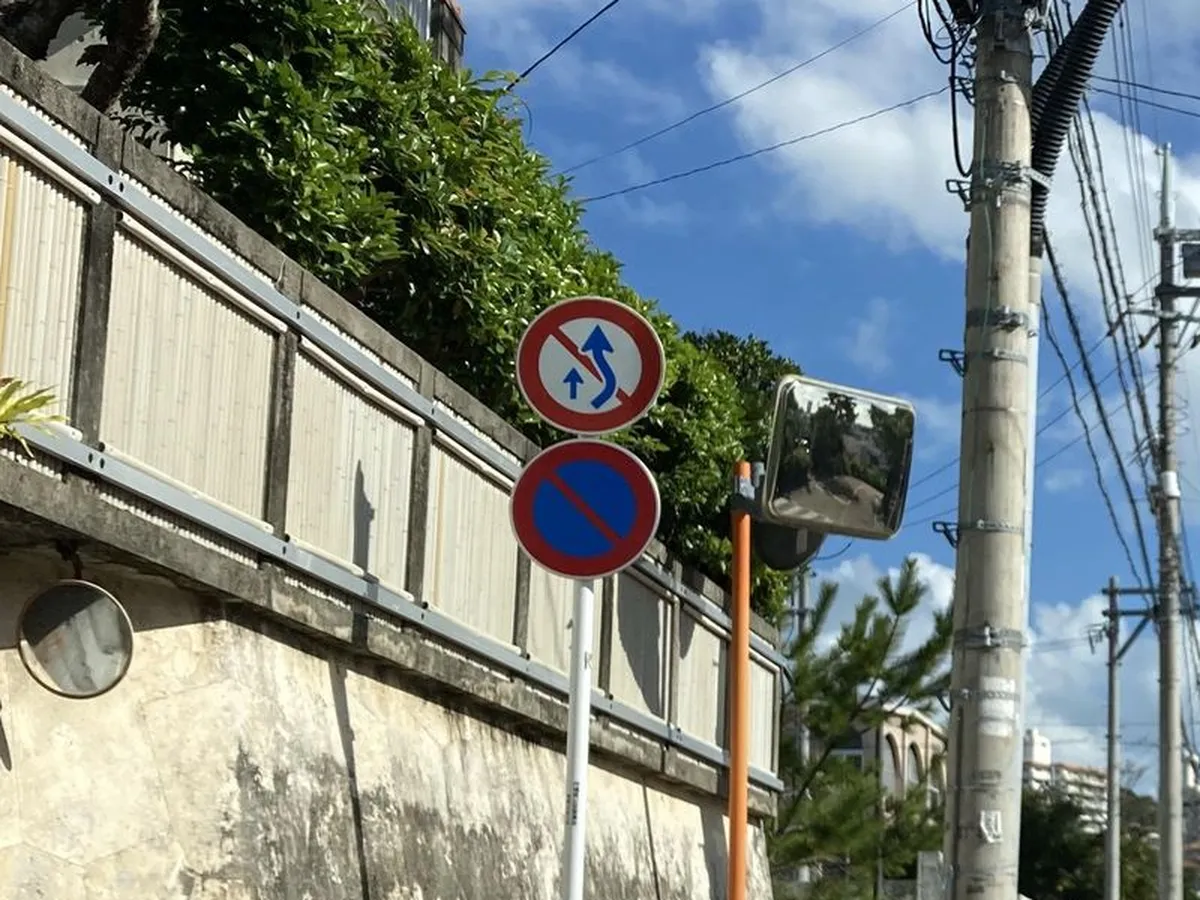 Technology
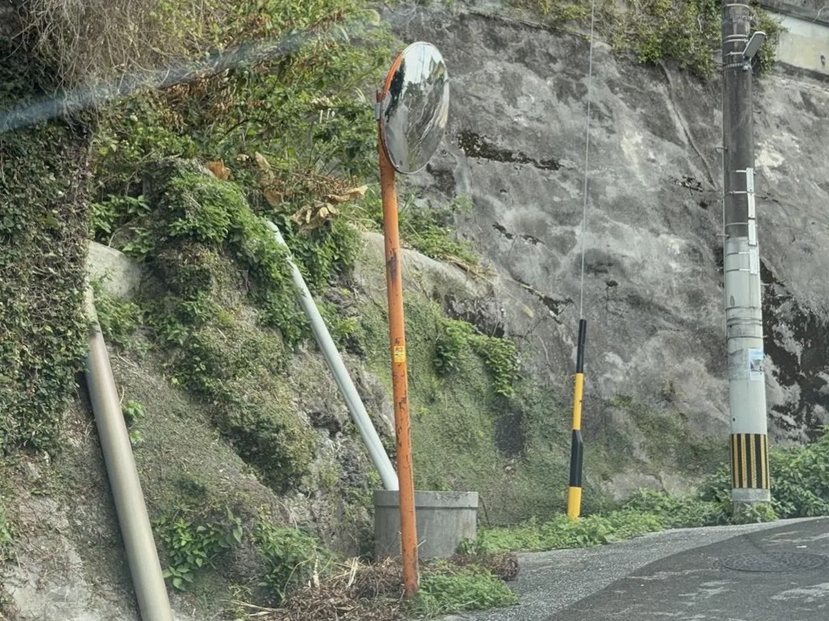 Technology
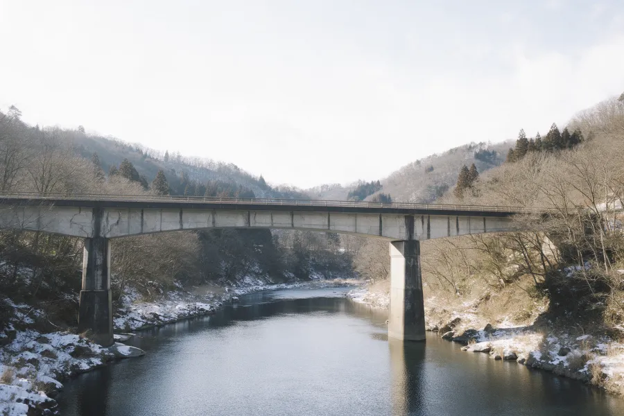 Philosophy
 Technology
 Road basics
 Road basics
 Technology
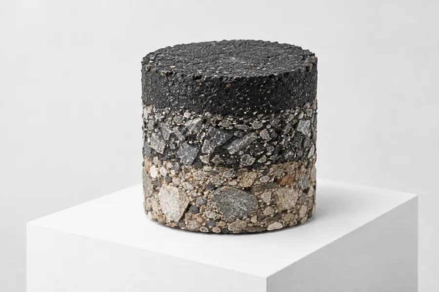 Road basics
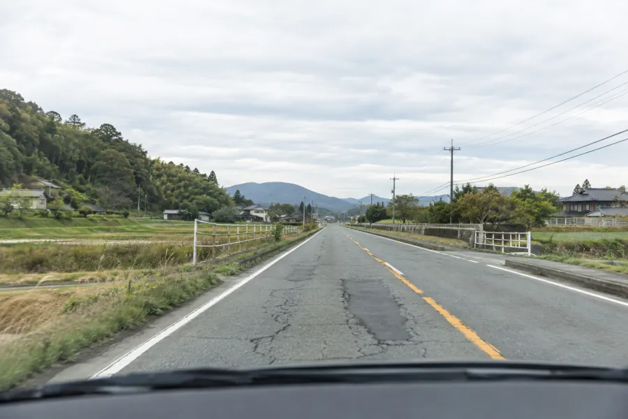 Technology
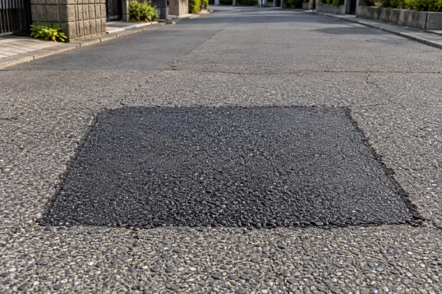 Rules and procedures
 Rules and procedures
For local governments
 Road basics
 Rules and procedures
 Road basics
 Road basics
 Rules and procedures
Infra Intelligence builds tools that both users and managers of infrastructure find easy to use, starting small, listening to the field and improving them step by step.
More about Infra IntelligenceWhether it is a MICHIKARTE trial or an AI app, your plans do not need to be final. Describe the photos or video you have and what you are struggling with, and you will get an email reply on what can and cannot be done. The contact form is in Japanese, but you are welcome to write in English.