How to find a kilometer post's latitude and longitude, and why national roads and expressways differ
For national roads, MLIT publishes the latitude and longitude of kilometer posts every 1 km, but for expressways a list every 100 m is hard to find. The location data the government publishes, and how to look up expressway posts yourself.
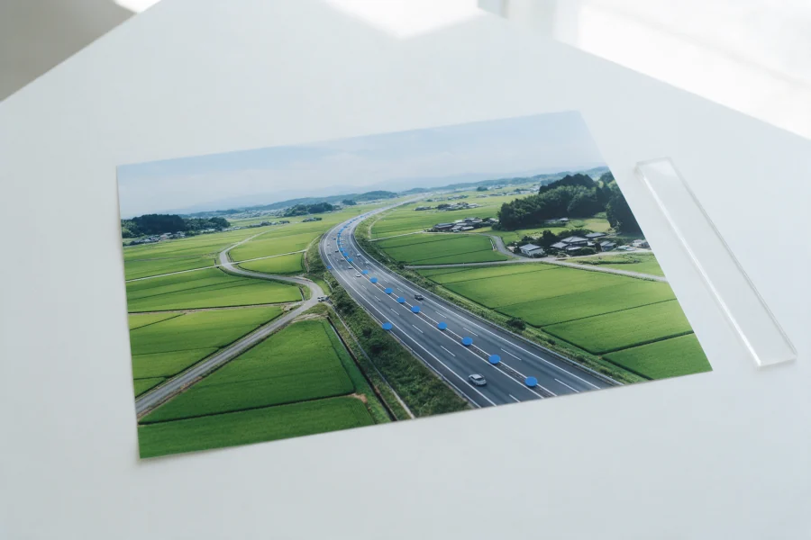
For national roads managed by the state, MLIT measures the latitude and longitude of kilometer posts every 1 km and publishes them as "Road Kilometer Posts" on the G-Spatial Information Center. Expressway kilometer posts stand every 100 m, but as far as I could find, no list of their coordinates is published for free. For a few spots, check them one by one on maps or footage; for a whole route, use data organised every 100 m.
Why link kilometer posts to latitude and longitude?
Inspection records, reports and accident information often give locations like "around kilometer post 67.9". To put them in a map app or GIS (a system for handling data on maps), they need to be converted to latitude and longitude.
A kilometer post (distance marker) is a sign showing the distance from the start of a route. What kilometer posts mean is explained in detail in What is a kilometer post?
With kilometer post numbers linked to coordinates, you can for example:
- Lay out the "XX kp" entries in inspection and repair records as points on a map
- Work out automatically which kilometer post an in-car camera's footage (with GPS) is near
- Share report and accident locations with other departments or outside companies on the same basis
Sections where damage is concentrated are far easier to spot in records on a map than in numbers alone.
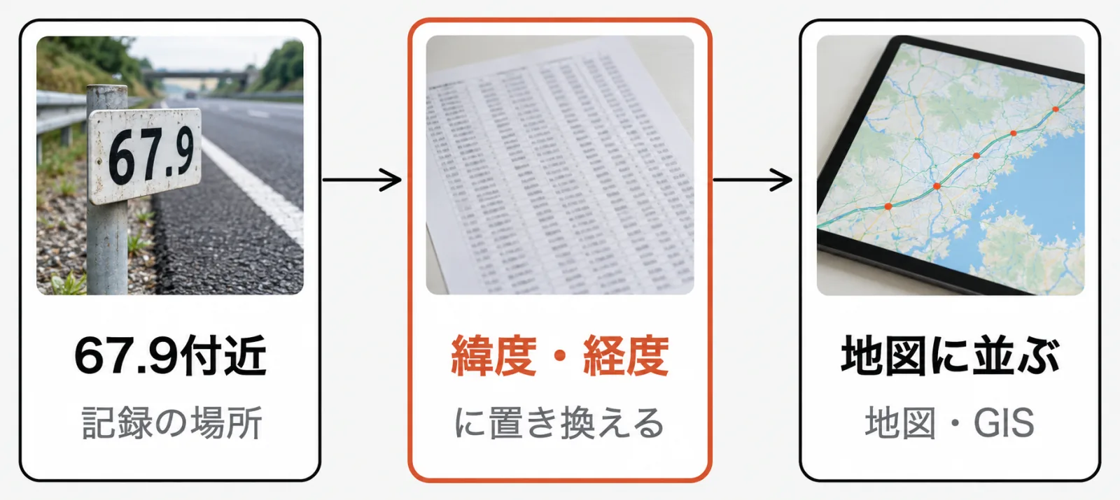
For national roads, the government publishes the positions
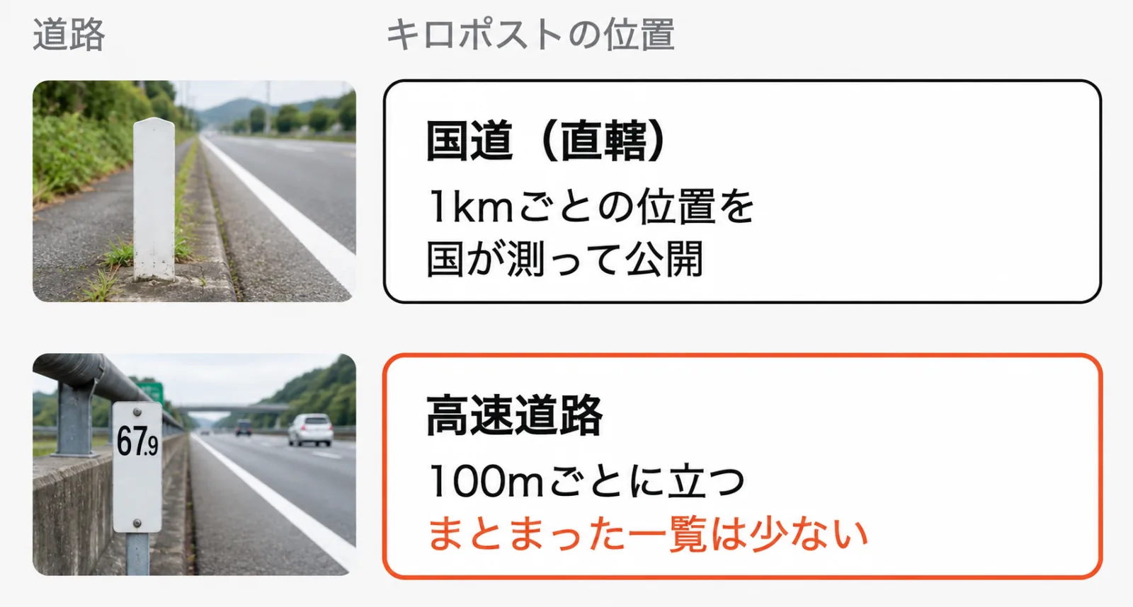
For national roads managed by the state, MLIT measures and publishes the positions of distance markers.
- Road reference points: MLIT places simple studs at the kilometer posts every 1 km on state-managed national roads and measures their latitude, longitude and elevation by public survey. The data is registered on the G-Spatial Information Center as "Road Kilometer Posts" (Source: G-Spatial Information Center, Road Kilometer Posts).
- National road base map database: A government site opened to the public on May 31, 2024, where anyone can view detailed plans of state-managed national roads and more for free (Source: MLIT, Launch of the national road base map database).
To find where a distance marker on a national road is, checking these first is the surest way. Road reference points are every 1 km, though, so if you need positions every 100 m you have to fill in between them yourself.
Expressway kilometer posts: hard to find in one list
On expressways, kilometer posts stand beside the road every 100 m (Source: NEXCO Central). Each route has a single starting point, so the same number is used at the same spot on both carriageways.
As far as I could find, though, no list of expressway kilometer posts with coordinates every 100 m is published in a form anyone can use for free. The national road base map database is for viewing on screen; to use it as data you apply for paid provision (Source: MLIT).
So linking expressway kilometer posts to coordinates usually means one of two things.
- Look up only the spots you need, one by one, using maps or footage of the site
- Get data organised every 100 m for each route
For a few spots, option 1 is enough; for a whole route or several routes, option 2 means less work and fewer mistakes.
Looking them up yourself
To look up a few kilometer posts yourself, this is a practical sequence.
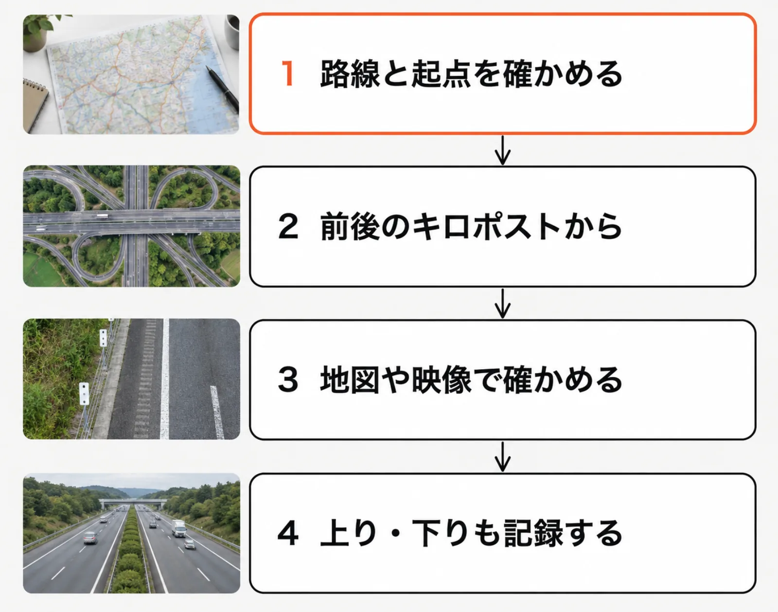
- Confirm the route and its start point: Each route has its own start point. The same "50.0" is a completely different place on a different route.
- Use nearby kilometer posts as clues: The kilometer posts of interchanges and junctions are often in public documents, so estimate the distance from there.
- Check on maps or footage: Confirm where the actual sign is on aerial photos or in-car footage.
- Record both directions: The number is the same, but the two carriageways are on opposite sides of the road. Recording which carriageway in repair and inspection records avoids confusion later.
Things to watch for in business use
- Route extensions and realignments: When a new section opens or a route changes, kilometer post numbers can change. Record what date your data reflects.
- Accuracy: How far off coordinates may be depends on how they were measured (surveyed on site or read off a map). Check the accuracy is good enough for your purpose before you use them.
- Terms of use: Government open data has terms too. The Road Kilometer Posts data is published under the Government Standard Terms of Use (version 2.0) (Source: G-Spatial Information Center). If you use it in reports or products, check things like how to credit the source beforehand.
FAQ
Q. Do ordinary roads have kilometer posts too?
Yes. National roads and others have distance markers. For state-managed national roads, the government measures and publishes the coordinates of the kilometer posts every 1 km.
Q. Can I search for a kilometer post in a smartphone map app?
Ordinary map apps can't search for places by kilometer post number. You need government map sites, or data linking kilometer posts to coordinates.
Q. Where can I get location data for expressway kilometer posts?
A list anyone can use is hard to find at present. Infra Intelligence offers Kilometer Post Data, with expressway kilometer posts organised by latitude and longitude every 100 m. You can check what's in it with a free sample.
If you need kilometer posts as coordinates Data listing the kilometer posts of 77 expressway routes by latitude and longitude every 100 m is available. Start by checking positions on the map with the free sample. → Kilometer Post Data
Related articles What is a kilometer post? / National, prefectural or municipal road: how do you tell? / What are Japan's Pavement Inspection Guidelines?
Last checked: October 19, 2026
References (in Japanese)
- G-Spatial Information Center: Road Kilometer Posts (MLIT Road Bureau)
- MLIT: Launch of the national road base map database, May 31, 2024
- National road base map database
- NEXCO Central: What are the signs with numbers beside the road?
- NEXCO East Drive Plaza: Where are expressway kilometer posts measured from?